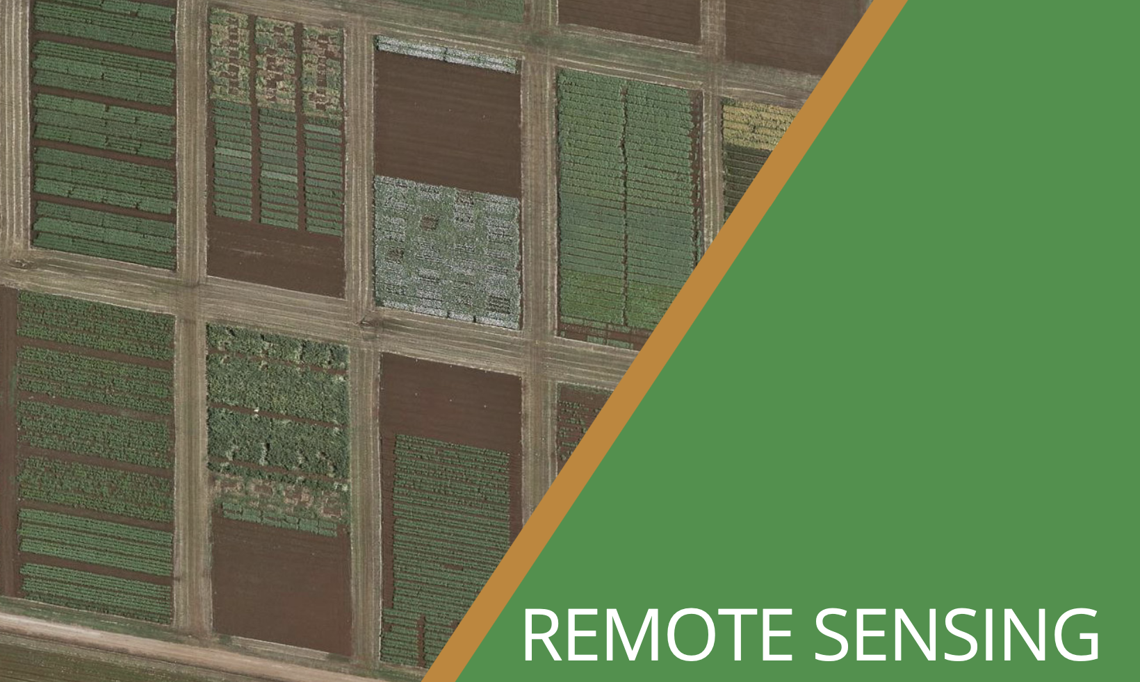
Over the past decade, the agricultural industry has seen a significant increase in publicly available remote sensing imagery and data. This technology is more accessible than ever, where users can access a wide range of information that can be implemented into their farming businesses, with the help of service providers and various commercially available platforms.
In this global scan, we address the types of remote sensing available, and its applications to vegetable production systems. Remote sensing is a type of geospatial technology that sits alongside Geographic Information Systems (GIS) and Global Positioning System (GPS) technologies.